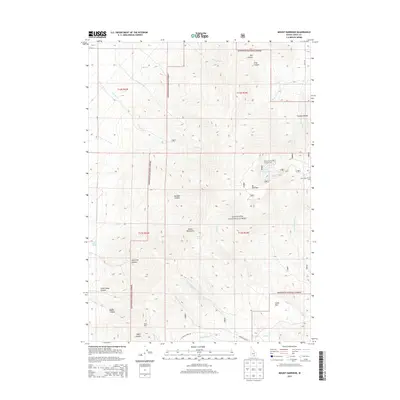
2013 Map of Mount Harrison
USGS Topo · Published 2013About this map
Mt Harrison dominates the central landscape of the Albion Mountains in this high-elevation survey of Cassia County. The area is defined by the high-altitude recreation and resource extraction within the Sawtooth National Forest. Significant drainage systems radiate from these peaks, including Willow Cr and Cottonwood Cr, while localized springs like Arrowhead Spring and Cedar Hollow Spring provide critical water sources in the semi-arid environment.
Find a feature on this map
40 named features on this map. Tap any name to fly to it.
Don’t see what you’re looking for? This feature index may not catch every label — zoom into the map to look around manually.
Map Details
Editions of this 2013 Mount Harrison Map
This is the sole edition of this map. No revisions or reprints were ever made.
Other maps of this area

1954 · Pocatello
USGS Topo · 1:250,000

1958 · Pocatello
USGS Topo · 1:250,000

1964 · View
USGS Topo · 1:24,000

1964 · Kenyon
USGS Topo · 1:24,000

1968 · Cache Peak
USGS Topo · 1:24,000

1968 · Basin
USGS Topo · 1:24,000

1968 · Marion SE
USGS Topo · 1:24,000

1968 · Elba
USGS Topo · 1:24,000

1968 · Mount Harrison
USGS Topo · 1:24,000

1968 · Albion
USGS Topo · 1:24,000