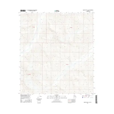
2016 Map of Mount Hayes A-1 NE
USGS Topo · Published 2016About this map
Tok Glacier dominates the southwestern portion of this topographic study, serving as the source for glacial meltwater that shapes the surrounding drainage patterns. The high-altitude landscape is defined by the sharp descent of Rumble Creek in the northwest and the winding course of the Tok River as it cuts through the eastern sections of the quadrangle. This 2016 survey provides a precise record of the ice and water systems within the Unorganized Borough, highlighting the relationship between the glacier's terminus and the arterial river systems that flow from it. The map is largely focused on the complex contour elevations of the Alaska Range, documenting the natural hydrology before any significant infrastructure or permanent settlement reached these specific townships.
Find a feature on this map
7 named features on this map. Tap any name to fly to it.
Don’t see what you’re looking for? This feature index may not catch every label — zoom into the map to look around manually.
Map Details
Editions of this 2016 Mount Hayes A-1 NE Map
This is the sole edition of this map. No revisions or reprints were ever made.
Other maps of this area

1948 · Tanacross A-6
USGS Topo · 1:63,360

1949 · Tanacross
USGS Topo · 1:250,000

1949 · Tanacross B-6
USGS Topo · 1:63,360

1949 · Mt. Hayes A-1
USGS Topo · 1:63,360

1950 · Tanacross
USGS Topo · 1:250,000

1950 · Mount Hayes
USGS Topo · 1:250,000

1951 · Mount Hayes
USGS Topo · 1:250,000

1951 · Tanacross B-6
USGS Topo · 1:63,360
1952 · Tanacross A-6
USGS Topo · 1:63,360

1954 · Mount Hayes B-1
USGS Topo · 1:63,360