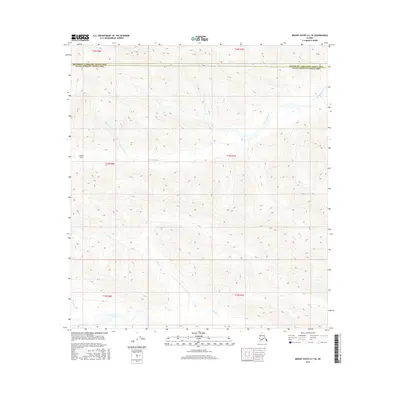
2016 Map of Mount Hayes A-1 SE
USGS Topo · Published 2016About this map
Gillett Pass serves as a central landmark in this high-altitude landscape where the headwaters of several drainages begin their descent. The map reveals a complex network of waterways, most notably the winding Slana River along the southern edge and the extensive reach of Dry Tok Creek to the north. These drainages define the movement of water across the divide between the Southeast Fairbanks Census Area and the Valdez-Cordova Census Area. The terrain is marked by smaller seasonal flows like Bone Cr, Lost Cr, and Jack Cr, indicating a rugged, unpopulated wilderness defined by its physical geography rather than human infrastructure.
Find a feature on this map
15 named features on this map. Tap any name to fly to it.
Don’t see what you’re looking for? This feature index may not catch every label — zoom into the map to look around manually.
Map Details
Editions of this 2016 Mount Hayes A-1 SE Map
This is the sole edition of this map. No revisions or reprints were ever made.
Other maps of this area

1948 · Tanacross A-6
USGS Topo · 1:63,360

1949 · Tanacross
USGS Topo · 1:250,000

1949 · Nabesna D-6
USGS Topo · 1:63,360

1949 · Mt. Hayes A-1
USGS Topo · 1:63,360

1950 · Tanacross
USGS Topo · 1:250,000

1950 · Nabesna
USGS Topo · 1:250,000

1950 · Mount Hayes
USGS Topo · 1:250,000

1951 · Gulkana
USGS Topo · 1:250,000

1951 · Mount Hayes
USGS Topo · 1:250,000

1951 · Nabesna
USGS Topo · 1:250,000