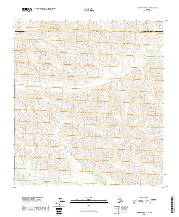
2024 Map of Mount Hayes A-1 SE
USGS Topo · Published 2024About this map
Slana River drainage systems define the southernmost reaches of this interior Alaskan landscape, where glacial waters feed into a complex network of tributaries. The terrain is structured by prominent valleys and high passes, most notably Gillett Pass, which serves as a natural corridor through the upland topography. This area marks the administrative meeting point of the Southeast Fairbanks and Copper River Census Areas, reflecting the remote intersection of regional boundaries. Waterways such as Dry Tok Creek and Jack Creek illustrate the seasonal hydrology of the region, while smaller features like Bone Creek, Lost Creek, and Alteration Creek provide specific landmarks for those navigating the backcountry. The absence of road infrastructure emphasizes the wilderness character of these township and range divisions north of the Wrangell-St. Elias vicinity.
Find a feature on this map
14 named features on this map. Tap any name to fly to it.
Don’t see what you’re looking for? This feature index may not catch every label — zoom into the map to look around manually.
Map Details
Editions of this 2024 Mount Hayes A-1 SE Map
This is the sole edition of this map. No revisions or reprints were ever made.
Other maps of this area

1948 · Tanacross A-6
USGS Topo · 1:63,360

1949 · Tanacross
USGS Topo · 1:250,000

1949 · Nabesna D-6
USGS Topo · 1:63,360

1949 · Mt. Hayes A-1
USGS Topo · 1:63,360

1950 · Tanacross
USGS Topo · 1:250,000

1950 · Nabesna
USGS Topo · 1:250,000

1950 · Mount Hayes
USGS Topo · 1:250,000

1951 · Gulkana
USGS Topo · 1:250,000

1951 · Mount Hayes
USGS Topo · 1:250,000

1951 · Nabesna
USGS Topo · 1:250,000