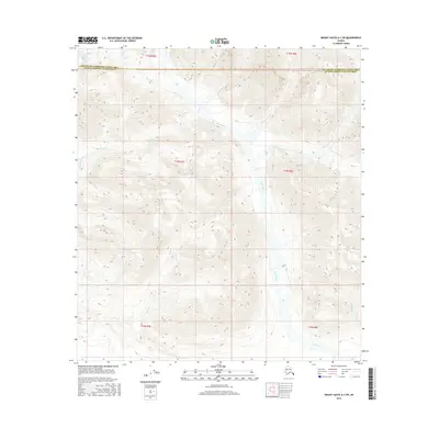
2016 Map of Mount Hayes A-1 SW
USGS Topo · Published 2016About this map
Slana River dominates this interior Alaskan landscape, winding through a high-altitude drainage basin defined by steep topographic relief. This 2016 survey highlights a remote wilderness area where glacial and snowmelt runoff feed several significant tributaries, including Canyon Creek and Alteration Cr. The map illustrates a region largely untouched by permanent settlement or infrastructure, instead revealing the natural geological structure of the terrain near the transition between the Southeast Fairbanks and Valdez-Cordova census areas. The intricate contour lines provide a detailed study of the various ridges and peaks that separate the drainage of Eagle Cr from the primary river valley, offering a precise look at the hydrology of this subarctic environment.
Find a feature on this map
12 named features on this map. Tap any name to fly to it.
Don’t see what you’re looking for? This feature index may not catch every label — zoom into the map to look around manually.
Map Details
Editions of this 2016 Mount Hayes A-1 SW Map
This is the sole edition of this map. No revisions or reprints were ever made.
Other maps of this area

1949 · Mt. Hayes A-1
USGS Topo · 1:63,360

1950 · Mount Hayes
USGS Topo · 1:250,000

1951 · Gulkana
USGS Topo · 1:250,000

1951 · Mount Hayes
USGS Topo · 1:250,000
1954 · Gulkana D-2
USGS Topo · 1:63,360
1954 · Mount Hayes A-1
USGS Topo · 1:63,360
1954 · Gulkana D-1
USGS Topo · 1:63,360
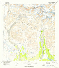
1955 · Mount Hayes A-2
USGS Topo · 1:63,360
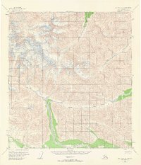
1955 · Mt. Hayes A-1
USGS Topo · 1:63,360

1955 · Mount Hayes
USGS Topo · 1:250,000