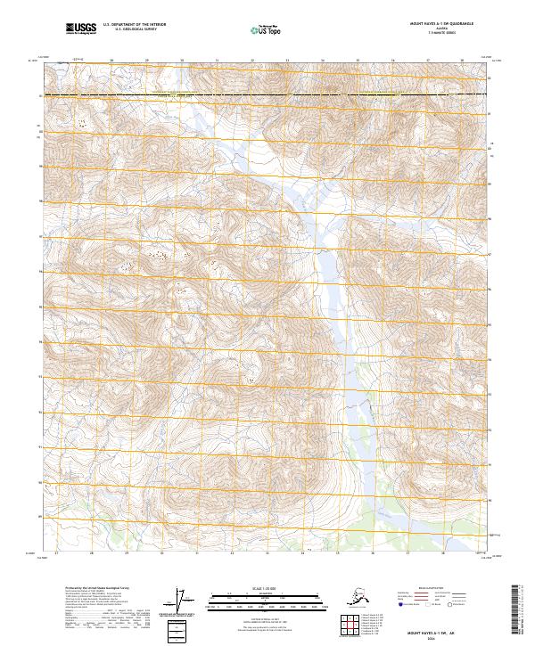
2024 Map of Mount Hayes A-1 SW
USGS Topo · Published 2024About this map
The Slana River corridor serves as the primary hydrological feature of this interior Alaskan landscape, marking the administrative boundary between the Southeast Fairbanks Census Area and Copper River Census Area. The river's wide valley floor is punctuated by numerous tributary systems, including Eagle Creek and Jack Creek, which drain the surrounding mountainous terrain. To the west, Canyon Creek cuts through the high relief, while Alteration Creek flows through the southeastern portion of the quadrangle. This 2024 survey depicts a wilderness largely devoid of modern development, defined instead by its complex drainage patterns and the intersection of multiple township and range designations such as t15n r5e and t15n r6e.
Find a feature on this map
12 named features on this map. Tap any name to fly to it.
Don’t see what you’re looking for? This feature index may not catch every label — zoom into the map to look around manually.
Map Details
Editions of this 2024 Mount Hayes A-1 SW Map
This is the sole edition of this map. No revisions or reprints were ever made.
Other maps of this area

1949 · Mt. Hayes A-1
USGS Topo · 1:63,360

1950 · Mount Hayes
USGS Topo · 1:250,000

1951 · Gulkana
USGS Topo · 1:250,000

1951 · Mount Hayes
USGS Topo · 1:250,000
1954 · Gulkana D-2
USGS Topo · 1:63,360
1954 · Mount Hayes A-1
USGS Topo · 1:63,360
1954 · Gulkana D-1
USGS Topo · 1:63,360
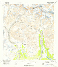
1955 · Mount Hayes A-2
USGS Topo · 1:63,360
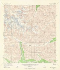
1955 · Mt. Hayes A-1
USGS Topo · 1:63,360

1955 · Mount Hayes
USGS Topo · 1:250,000