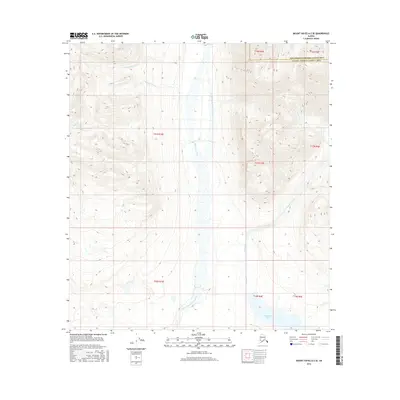
2016 Map of Mount Hayes A-2 SE
USGS Topo · Published 2016About this map
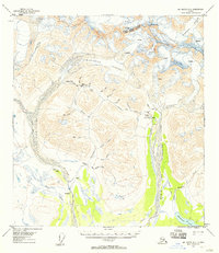
Mankomen Lake anchors the southern reaches of this interior landscape, where the waters of the Middle Fork Chistochina River flow through a complex system of braided channels. The terrain is defined by the convergence of several high-elevation drainages, including Limestone Creek and Canyon Creek, which carve through the high country. The map captures a transition point between the Southeast Fairbanks Census Area and the Valdez-Cordova Census Area, illustrating a remote wilderness largely devoid of modern infrastructure. Smaller tributaries like Ptarmigan Cr and Russian John Cr indicate the localized naming conventions of early travelers or hunters in this subarctic region. The intricate contour lines reveal the steep, unpopulated slopes that feed the Chistochina drainage, offering a detailed perspective on the hydrological patterns of the northern Copper River basin.
Find a feature on this map
17 named features on this map. Tap any name to fly to it.
Don’t see what you’re looking for? This feature index may not catch every label — zoom into the map to look around manually.
Map Details
Editions of this 2016 Mount Hayes A-2 SE Map
This is the sole edition of this map. No revisions or reprints were ever made.
Other maps of this area

1949 · Mt. Hayes A-1
USGS Topo · 1:63,360

1950 · Mount Hayes
USGS Topo · 1:250,000

1951 · Gulkana
USGS Topo · 1:250,000

1951 · Mount Hayes
USGS Topo · 1:250,000
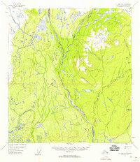
1954 · Gulkana D-2
USGS Topo · 1:63,360
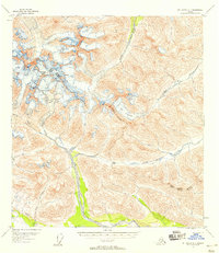
1954 · Mount Hayes A-1
USGS Topo · 1:63,360
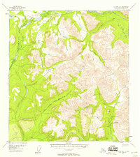
1954 · Gulkana D-1
USGS Topo · 1:63,360
1955 · Mount Hayes A-2
USGS Topo · 1:63,360
1955 · Mt. Hayes A-1
USGS Topo · 1:63,360

1955 · Mount Hayes
USGS Topo · 1:250,000