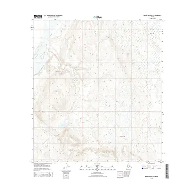
2016 Map of Mount Hayes A-3 SE
USGS Topo · Published 2016About this map
The Gulkana River flows through the western edge of this sub-arctic landscape, defining a remote interior drainage system in the Unorganized Borough. This 2016 survey documents the intricate water network surrounding Alder Lake and the lower Caribou Lake, where high-elevation wetlands dominate the terrain. Unlike developed regions, the area is characterized by its hydrography rather than human settlements, with Sinona Cr and Excelsior Cr carving paths through the high country. The map provides a detailed look at the Public Land Survey System grid across T21S and T22S, capturing the raw topography of the Alaska Range's southern slopes before any modern infrastructure altered the drainage patterns.
Find a feature on this map
9 named features on this map. Tap any name to fly to it.
Don’t see what you’re looking for? This feature index may not catch every label — zoom into the map to look around manually.
Map Details
Editions of this 2016 Mount Hayes A-3 SE Map
This is the sole edition of this map. No revisions or reprints were ever made.
Other maps of this area

1949 · Gulkana D-3
USGS Topo · 1:63,360

1950 · Mount Hayes
USGS Topo · 1:250,000

1950 · Mount Hayes A-3
USGS Topo · 1:63,360

1951 · Gulkana
USGS Topo · 1:250,000

1951 · Mount Hayes
USGS Topo · 1:250,000

1952 · Gulkana D-3
USGS Topo · 1:63,360

1952 · Mount Hayes A-3
USGS Topo · 1:63,360
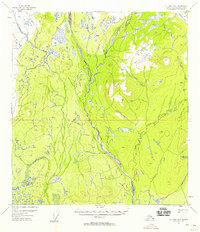
1954 · Gulkana D-2
USGS Topo · 1:63,360
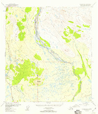
1954 · Gulkana D-3
USGS Topo · 1:63,360
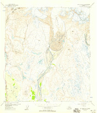
1954 · Mount Hayes A-3
USGS Topo · 1:63,360