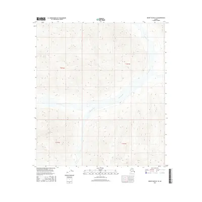
2016 Map of Mount Hayes B-1 SE
USGS Topo · Published 2016About this map
Robertson River dominates the drainage patterns across this interior Alaska wilderness, carving a significant valley floor through the mountainous terrain. Flowing primarily from the southwest toward the northeast, the river is fed by tributaries including Rumble Creek, which cuts through the central sections of the quadrangle. The map illustrates the complex hydrography typical of the region, where glacial runoff and seasonal melt create shifting channels and braided stream beds within the wider river corridor. This 2016 survey provides a precise record of these watercourses and the high-elevation topography surrounding them, detailing the steep contour changes that define the valley walls and the remote stretches of the Unorganized Borough.
Find a feature on this map
6 named features on this map. Tap any name to fly to it.
Don’t see what you’re looking for? This feature index may not catch every label — zoom into the map to look around manually.
Map Details
Editions of this 2016 Mount Hayes B-1 SE Map
This is the sole edition of this map. No revisions or reprints were ever made.
Other maps of this area

1948 · Tanacross A-6
USGS Topo · 1:63,360

1949 · Tanacross
USGS Topo · 1:250,000

1949 · Tanacross B-6
USGS Topo · 1:63,360

1949 · Mt. Hayes A-1
USGS Topo · 1:63,360

1950 · Tanacross
USGS Topo · 1:250,000

1950 · Mount Hayes
USGS Topo · 1:250,000

1951 · Mount Hayes
USGS Topo · 1:250,000

1951 · Tanacross B-6
USGS Topo · 1:63,360
1952 · Tanacross A-6
USGS Topo · 1:63,360

1954 · Mount Hayes B-1
USGS Topo · 1:63,360