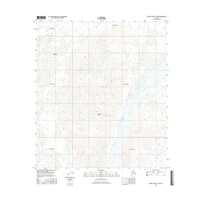
2016 Map of Mount Hayes C-2 NW
USGS Topo · Published 2016About this map
Deltana and the high elevations of Independent Ridge define this landscape in the Unorganized Borough, where glacial drainage patterns are clearly visible through the modern 2016 topography. The Johnson River dominates the eastern portion of the quadrangle, carving a wide path through the Alaskan interior, while the Little Gerstle River threads through the western reaches. Smaller tributaries like Sheep Cr and Pegmatite Cr feed these larger systems, illustrating the complex hydrology of the region. This survey captures a moment of modern land management, showing the precise township and range boundaries of t13s r14e through t15s r15e as they overlay the natural terrain.
Find a feature on this map
12 named features on this map. Tap any name to fly to it.
Don’t see what you’re looking for? This feature index may not catch every label — zoom into the map to look around manually.
Map Details
Editions of this 2016 Mount Hayes C-2 NW Map
This is the sole edition of this map. No revisions or reprints were ever made.
Other maps of this area

1950 · Mount Hayes
USGS Topo · 1:250,000

1951 · Mount Hayes
USGS Topo · 1:250,000

1954 · Mount Hayes C-3
USGS Topo · 1:63,360

1954 · Mount Hayes D-2
USGS Topo · 1:63,360

1954 · Mount Hayes D-3
USGS Topo · 1:63,360

1955 · Mount Hayes C-2
USGS Topo · 1:63,360

1955 · Mount Hayes D-2
USGS Topo · 1:63,360
1955 · Mount Hayes D-3
USGS Topo · 1:63,360

1955 · Mount Hayes C-3
USGS Topo · 1:63,360

1955 · Mount Hayes
USGS Topo · 1:250,000