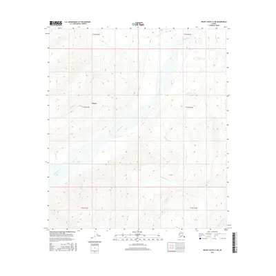
2016 Map of Mount Hayes C-3 NE
USGS Topo · Published 2016About this map
The Gerstle River dominates this interior Alaskan landscape, shown here as it appeared in the mid-2010s. Flowing north through a broad, braided channel, the river is the central geographic feature of the Deltana area. The surrounding terrain is defined by a dense network of mountain drainage systems, including Dougherty Cr and Sawmill Cr which feed into the main river valley. To the south and east, the Little Gerstle River and Sheep Cr cut through the high-elevation contours of the Alaska Range foothills. The map provides a clear look at the hydraulic patterns of this subarctic environment, specifically the relationship between the major glacial riverbed and its smaller tributaries like Bradford Creek. The survey effectively illustrates the transition from the flat river valley to the steeply rising topography that characterizes this portion of the Unorganized Borough.
Find a feature on this map
14 named features on this map. Tap any name to fly to it.
Don’t see what you’re looking for? This feature index may not catch every label — zoom into the map to look around manually.
Map Details
Editions of this 2016 Mount Hayes C-3 NE Map
This is the sole edition of this map. No revisions or reprints were ever made.
Other maps of this area

1950 · Mount Hayes
USGS Topo · 1:250,000

1951 · Mount Hayes
USGS Topo · 1:250,000

1954 · Mount Hayes C-3
USGS Topo · 1:63,360

1954 · Mount Hayes D-2
USGS Topo · 1:63,360

1954 · Mount Hayes D-3
USGS Topo · 1:63,360

1955 · Mount Hayes C-2
USGS Topo · 1:63,360

1955 · Mount Hayes D-2
USGS Topo · 1:63,360
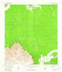
1955 · Mount Hayes D-3
USGS Topo · 1:63,360

1955 · Mount Hayes C-3
USGS Topo · 1:63,360

1955 · Mount Hayes
USGS Topo · 1:250,000