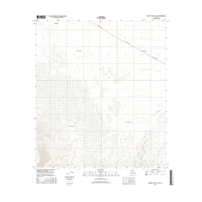
2016 Map of Mount Hayes D-3 SE
USGS Topo · Published 2016About this map
The settlement of Deltana sits in the northwest corner of this Interior Alaska landscape, where the Alaska Highway cuts a distinct path across the northern terrain. This transportation corridor provides a stark linear contrast to the complex glacial and alluvial systems that dominate the area. To the southeast, the braided channels of the Gerstle River sweep through the valley, fed by several smaller drainages including Dougherty Cr, Hajdukovich Cr, and Sawmill Cr. The map illustrates a transitional geography where the relatively level ground near the highway gives way to the rising elevations and drainage networks of the Alaska Range foothills, with Tower Road providing one of the few improved access points into the back country.
Find a feature on this map
11 named features on this map. Tap any name to fly to it.
Don’t see what you’re looking for? This feature index may not catch every label — zoom into the map to look around manually.
Map Details
Editions of this 2016 Mount Hayes D-3 SE Map
This is the sole edition of this map. No revisions or reprints were ever made.
Other maps of this area

1950 · Mount Hayes
USGS Topo · 1:250,000

1951 · Mount Hayes
USGS Topo · 1:250,000

1954 · Mount Hayes C-3
USGS Topo · 1:63,360

1954 · Mount Hayes D-2
USGS Topo · 1:63,360

1954 · Mount Hayes D-3
USGS Topo · 1:63,360

1955 · Mount Hayes C-2
USGS Topo · 1:63,360

1955 · Mount Hayes D-2
USGS Topo · 1:63,360
1955 · Mount Hayes D-3
USGS Topo · 1:63,360

1955 · Mount Hayes C-3
USGS Topo · 1:63,360

1955 · Mount Hayes
USGS Topo · 1:250,000