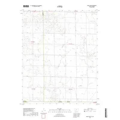
2018 Map of Mount Helen
USGS Topo · Published 2018About this map
Mt Helen stands as a prominent landmark in this borderland where the High Plains of Kansas meet the Oklahoma Panhandle. This 2018 survey documents a landscape defined by its drainage systems and the rigid geometry of the Public Land Survey System. The state line between Kansas and Oklahoma bisects the terrain, marked by a shift in road designations and section numbering. Water is a critical element of the local geography, with Fivemile Cr, Twomile Cr, and Big Sandy Cr cutting across the plains, while the Wells Reservoir indicates managed water resources in this semi-arid environment. The road network, including CR GG and Aa RD, follows the section lines, highlighting the agricultural and ranching layout that spans Meade, Clark, and Beaver counties.
Find a feature on this map
29 named features on this map. Tap any name to fly to it.
Don’t see what you’re looking for? This feature index may not catch every label — zoom into the map to look around manually.
Map Details
Editions of this 2018 Mount Helen Map
This is the sole edition of this map. No revisions or reprints were ever made.
Other maps of this area

1892 · Meade
USGS Topo · 1:125,000

1896 · Ashland
USGS Topo · 1:125,000

1954 · Perryton
USGS Topo · 1:250,000

1955 · Woodward
USGS Topo · 1:250,000

1955 · Pratt
USGS Topo · 1:250,000

1955 · Dodge City
USGS Topo · 1:250,000

1958 · Perryton
USGS Topo · 1:250,000

1958 · Woodward
USGS Topo · 1:250,000

1958 · Dodge City
USGS Topo · 1:250,000

1959 · Pratt
USGS Topo · 1:250,000