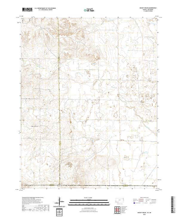
2022 Map of Mount Helen
USGS Topo · Published 2022About this map
Mt Helen rises as a prominent landmark in this prairie landscape along the border of Meade and Clark counties. The terrain is defined by the winding course of Fivemile Creek, which drains toward the southeast, and the headwaters of Big Sandy Creek in the northeastern corner. This rural expanse, surveyed in 2022, is crisscrossed by a grid of section roads such as AA Road and CR BB, reflecting the deep-rooted agricultural structure of the High Plains.
Find a feature on this map
25 named features on this map. Tap any name to fly to it.
Don’t see what you’re looking for? This feature index may not catch every label — zoom into the map to look around manually.
Map Details
Editions of this 2022 Mount Helen Map
This is the sole edition of this map. No revisions or reprints were ever made.
Other maps of this area

1892 · Meade
USGS Topo · 1:125,000

1896 · Ashland
USGS Topo · 1:125,000

1954 · Perryton
USGS Topo · 1:250,000

1955 · Woodward
USGS Topo · 1:250,000

1955 · Pratt
USGS Topo · 1:250,000

1955 · Dodge City
USGS Topo · 1:250,000

1958 · Perryton
USGS Topo · 1:250,000

1958 · Woodward
USGS Topo · 1:250,000

1958 · Dodge City
USGS Topo · 1:250,000

1959 · Pratt
USGS Topo · 1:250,000