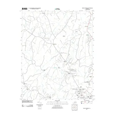
2011 Map of Mount Hermon
USGS Topo · Published 2011About this map
White Oak Mountain anchors this portion of Pittsylvania County, directing the flow of White Oak Creek and Fall Creek through a landscape of evolving suburban development and rural heritage. The southern reaches of the map exhibit a concentrated network of residential neighborhoods like Afton Hills, Shadowwood Park, and Virginia Hills, which contrast with the more isolated settlements of Hopewell and Pleasant Gap to the north. Historical sites such as Laniers Mill and Highland Burial Park provide essential touchpoints for genealogical research and local history. The presence of Tuscarora Country Club Lake and various water control structures like Farthing Dam highlights the management of the local drainage basins, including Sandy Creek and the Dry Fork waterway, as they wind through the foothills.
Find a feature on this map
92 named features on this map. Tap any name to fly to it.
Don’t see what you’re looking for? This feature index may not catch every label — zoom into the map to look around manually.
Map Details
Editions of this 2011 Mount Hermon Map
This is the sole edition of this map. No revisions or reprints were ever made.
Other maps of this area

1921 · Chatham
USGS Topo · 1:48,000

1922 · Callands
USGS Topo · 1:48,000

1923 · Danville
USGS Topo · 1:48,000

1923 · Chatham
USGS Topo · 1:62,500

1924 · Draper
USGS Topo · 1:48,000

1924 · Callands
USGS Topo · 1:62,500

1925 · Danville
USGS Topo · 1:62,500

1926 · Draper
USGS Topo · 1:62,500

1944 · Draper
USGS Topo · 1:62,500

1944 · Callands
USGS Topo · 1:62,500