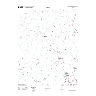
2013 Map of Mount Hermon
USGS Topo · Published 2013About this map
White Oak Mountain anchors this portion of Pittsylvania County, rising above a landscape defined by the drainage networks of White Oak Cr and Sandy Cr. In the early twenty-first century, this area northwest of Danville shows a distinct pattern of residential growth, particularly in the southern reaches where numerous named subdivisions like Afton Hills, Beverly Park, and Swain Acres are clustered.
Find a feature on this map
188 named features on this map. Tap any name to fly to it.
Don’t see what you’re looking for? This feature index may not catch every label — zoom into the map to look around manually.
Map Details
Editions of this 2013 Mount Hermon Map
This is the sole edition of this map. No revisions or reprints were ever made.
Other maps of this area

1921 · Chatham
USGS Topo · 1:48,000

1922 · Callands
USGS Topo · 1:48,000

1923 · Danville
USGS Topo · 1:48,000

1923 · Chatham
USGS Topo · 1:62,500

1924 · Draper
USGS Topo · 1:48,000

1924 · Callands
USGS Topo · 1:62,500

1925 · Danville
USGS Topo · 1:62,500

1926 · Draper
USGS Topo · 1:62,500

1944 · Draper
USGS Topo · 1:62,500

1944 · Callands
USGS Topo · 1:62,500