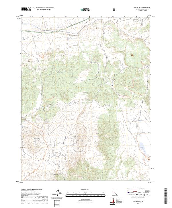
2023 Map of Mount Hicks
USGS Topo · Published 2023About this map
Mt Hicks dominates the central landscape within the Toiyabe National Forest, surrounded by a complex network of ridgelines and high-altitude peaks. To the south, the Bodie Mountains rise near Spring Peak, while the western edge is marked by Aurora Peak and the high ground of Humboldt Hill at Gregory Flats. The drainage patterns here are well-defined by Mud Spring Canyon in the north and the broad Alkali Valley to the east, which contains the seasonal basin of Alkali Lake.
Find a feature on this map
32 named features on this map. Tap any name to fly to it.
Don’t see what you’re looking for? This feature index may not catch every label — zoom into the map to look around manually.
Map Details
Editions of this 2023 Mount Hicks Map
This is the sole edition of this map. No revisions or reprints were ever made.
Other maps of this area

1909 · Hawthorne
USGS Topo · 1:250,000

1911 · Hawthorne
USGS Topo · 1:250,000

1915 · Hawthorne
USGS Topo · 1:250,000

1948 · Walker Lake
USGS Topo · 1:250,000

1955 · Powell Mtn
USGS Topo · 1:62,500

1956 · Aurora
USGS Topo · 1:62,500

1957 · Walker Lake
USGS Topo · 1:250,000

1958 · Trench Canyon
USGS Topo · 1:62,500

1958 · Huntoon Valley
USGS Topo · 1:62,500

1962 · Walker Lake
USGS Topo · 1:250,000