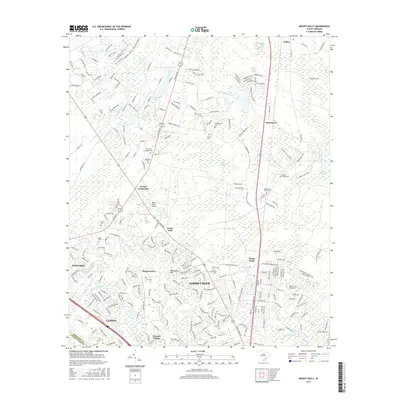
2017 Map of Mount Holly
USGS Topo · Published 2017About this map
Goose Creek and the surrounding Berkeley County landscape are defined here by a dense network of suburban growth intermingled with expansive lowcountry wetlands. This modern topographical survey highlights the persistent rural-to-suburban transition, where established settlements like Ladson and Mount Holly sit alongside several namesake swamps, including Canterhill Swamp and Brick Bound Swamp. The mapping reveals a significant concentration of family and community burial grounds, such as Plantation Gardens Cem and The Droze Cem, which serve as physical anchors for genealogical research in this historic region.
Find a feature on this map
267 named features on this map. Tap any name to fly to it.
Don’t see what you’re looking for? This feature index may not catch every label — zoom into the map to look around manually.
Map Details
Editions of this 2017 Mount Holly Map
This is the sole edition of this map. No revisions or reprints were ever made.
Other maps of this area

1919 · Ladson
USGS Topo · 1:21,120

1919 · Summerville
USGS Topo · 1:48,000

1919 · Cordesville
USGS Topo · 1:48,000

1919 · Melgrove
USGS Topo · 1:21,120

1920 · Ravenels
USGS Topo · 1:62,500

1920 · Summerville
USGS Topo · 1:62,500

1940 · Melgrove
USGS Topo · 1:24,000

1943 · Ladson
USGS Topo · 1:24,000

1944 · Ravenels
USGS Topo · 1:62,500

1944 · Summerville
USGS Topo · 1:62,500