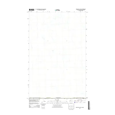
2014 Map of Mount Hull OE N
USGS Topo · Published 2014About this map
The international border between Canada / United States of America defines the central axis of this landscape. Situated along the northern edge of Washington in Okanogan Co, the area is characterized by a network of drainage systems and high-country terrain. Unlike many topographic sheets, this particular edition focuses on the hydrography and boundary lines rather than detailed elevation contours, offering a clear view of the primary watercourses as they flow across the border. The map provides a precise layout of the boundary as it existed in the early 21st century, showing the spatial relationship between the northernmost reaches of the United States and the adjacent British Columbia territory.
Find a feature on this map
3 named features on this map. Tap any name to fly to it.
Don’t see what you’re looking for? This feature index may not catch every label — zoom into the map to look around manually.
Map Details
Editions of this 2014 Mount Hull OE N Map
This is the sole edition of this map. No revisions or reprints were ever made.
Other maps of this area

1902 · Osoyoos
USGS Topo · 1:125,000

1904 · Osoyoos
USGS Topo · 1:125,000

1954 · Okanogan
USGS Topo · 1:250,000

1957 · Mt. Bonaparte
USGS Topo · 1:62,500

1957 · Oroville
USGS Topo · 1:62,500

1958 · Okanogan
USGS Topo · 1:250,000

1975 · Oroville NW
USGS Topo · 1:24,000

1981 · Mount Hull
USGS Topo · 1:24,000
1982 · Oroville
USGS Topo · 1:24,000

1984 · Oroville
USGS Topo · 1:100,000