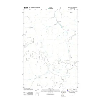
2011 Map of Mount Humbug
USGS Topo · Published 2011About this map
Mining operations and water management systems define the high-altitude landscape of this area south of Butte during the early 21st century. The map shows a concentration of industrial heritage, specifically naming the Highland Mine and several sectional claims including the W SE Section 9 Mine and NW SE Section 21 Mine. These sites sit alongside geographic markers like Mount Humbug and Gold Hill, indicating a history of mineral extraction that shaped the local economy.
Find a feature on this map
25 named features on this map. Tap any name to fly to it.
Don’t see what you’re looking for? This feature index may not catch every label — zoom into the map to look around manually.
Map Details
Editions of this 2011 Mount Humbug Map
This is the sole edition of this map. No revisions or reprints were ever made.
Other maps of this area

1893 · Dillon
USGS Topo · 1:250,000

1955 · Dillon
USGS Topo · 1:250,000

1957 · Dillon
USGS Topo · 1:250,000

1958 · Dillon
USGS Topo · 1:250,000

1960 · Twin Bridges
USGS Topo · 1:62,500

1961 · Melrose
USGS Topo · 1:24,000

1961 · Wickiup Creek
USGS Topo · 1:24,000

1961 · Butte South
USGS Topo · 1:62,500

1962 · Dillon
USGS Topo · 1:250,000

1963 · Pipestone Pass
USGS Topo · 1:24,000