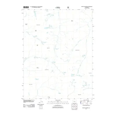
2011 Map of Mount Jackson
USGS Topo · Published 2011About this map
Mount Jackson dominates this high-altitude landscape in Eagle County, serving as a focal point for a complex network of alpine lakes and glacial basins. The terrain is defined by dramatic peaks and names that suggest a history of prospecting, such as Gold Dust Peak, the nearby Gold Dust Basin, and Treasure Vault Lake. Water is the primary geographic feature, with numerous isolated bodies like Mystic Island Lake, Lake Charles, and Josephine Lake feeding into drainages including East Lake Creek and Cross Creek. This survey captures the wilderness character of the area in the early 21st century, illustrating the traditional names given to these high-country landmarks. From the southern expanse of Tellurium Park and Coffeepot Park to the northern reaches of Gold Dust Lakes, the map documents a territory where geography is shaped by steep elevation changes and the remote passes that connect them, such as Fancy Pass.
Find a feature on this map
44 named features on this map. Tap any name to fly to it.
Don’t see what you’re looking for? This feature index may not catch every label — zoom into the map to look around manually.
Map Details
Editions of this 2011 Mount Jackson Map
This is the sole edition of this map. No revisions or reprints were ever made.
Other maps of this area

1889 · Leadville
USGS Topo · 1:125,000

1891 · Leadville
USGS Topo · 1:125,000

1909 · Mount Jackson
USGS Topo · 1:125,000

1911 · Mount Jackson
USGS Topo · 1:125,000

1934 · Minturn
USGS Topo · 1:62,500

1942 · Leadville
USGS Topo · 1:125,000

1949 · Holy Cross
USGS Topo · 1:62,500

1950 · Minturn
USGS Topo · 1:62,500

1951 · Holy Cross
USGS Topo · 1:62,500

1957 · Leadville
USGS Topo · 1:250,000