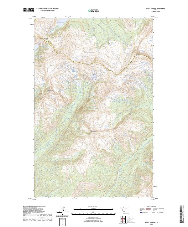
2024 Map of Mount Jackson
USGS Topo · Published 2024About this map
Glacier National Park defines this high-elevation landscape, where the Continental Divide separates the headwaters of several major drainages. The map serves as a contemporary record of remnant glacial ice, including the Blackfoot Glacier, Jackson Glacier, and Logan Glacier. These icy features are situated between massive peaks such as Mt Jackson and Mt Logan, which dominate the central and eastern portions of the quadrangle.
Find a feature on this map
26 named features on this map. Tap any name to fly to it.
Don’t see what you’re looking for? This feature index may not catch every label — zoom into the map to look around manually.
Map Details
Editions of this 2024 Mount Jackson Map
This is the sole edition of this map. No revisions or reprints were ever made.
Other maps of this area

1904 · Chief Mountain
USGS Topo · 1:125,000

1914 · Nyack
USGS Topo · 1:125,000

1938 · Chief Mountain
USGS Topo · 1:125,000

1960 · Cut Bank
USGS Topo · 1:250,000

1963 · Cut Bank
USGS Topo · 1:250,000

1964 · Cut Bank
USGS Topo · 1:250,000

1964 · Nyack
USGS Topo · 1:24,000

1964 · Stanton Lake
USGS Topo · 1:24,000
1964 · Mount Saint Nicholas
USGS Topo · 1:24,000
1968 · Mount Cannon
USGS Topo · 1:24,000