
1911 Map of Mount Jackson
USGS Topo · Published 1911About this map
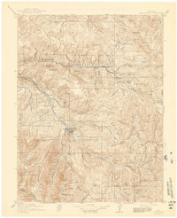
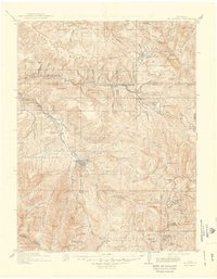
Aspen serves as the focal point of this high-altitude survey, reflecting a landscape shaped by silver mining and the arrival of competing rail lines. The northern section is dominated by the Fryingpan River corridor, where the Colorado Midland RR tracks pass through small settlements like Thomasville, Meredith, and Ruedi. Further south, the rugged terrain around the Williams Mountains and the Sopris peaks is dotted with mining activity, including the Little Annie Mine and the Montezuma Mine near Ashcroft.
Find a feature on this map
74 named features on this map. Tap any name to fly to it.
Don’t see what you’re looking for? This feature index may not catch every label — zoom into the map to look around manually.
Map Details
Editions of this 1911 Mount Jackson Map
3 editions found
Other maps of this area

1888 · Crested Butte
USGS Topo · 1:62,500

1888 · Anthracite
USGS Topo · 1:62,500

1889 · Crested Butte
USGS Topo · 1:62,500

1889 · Anthracite
USGS Topo · 1:62,500

1889 · Leadville
USGS Topo · 1:125,000

1891 · Leadville
USGS Topo · 1:125,000

1893 · Anthracite
USGS Topo · 1:62,500

1893 · Crested Butte
USGS Topo · 1:62,500

1893 · Aspen
USGS Topo · 1:62,500

1894 · Anthracite
USGS Topo · 1:62,500