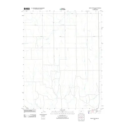
2012 Map of Mount Jesus NW
USGS Topo · Published 2012About this map
Rattlesnake Cr and its tributaries carve a complex drainage pattern across this section of Ford County, defining a landscape shaped more by water than by human settlement. This part of Kansas is characterized by a strict section-line road grid, where routes like Coline Rd, Lane Rd, and Zane Rd cut straight paths across the undulating terrain. The hydrology is dominated by ephemeral and permanent streams, including W Kiowa Cr and Granger Cr, which flow generally southward toward the Oklahoma border. A small corner of Clark Co Lake Rd appears in the southwest, indicating the transition toward the neighboring county and its local landmarks. The map illustrates a rural environment where land divisions remain the primary indicator of human activity, punctuated only by the occasional farmstead or storage structure scattered along the gravel and dirt corridors of 128 Rd and 129 Rd.
Find a feature on this map
15 named features on this map. Tap any name to fly to it.
Don’t see what you’re looking for? This feature index may not catch every label — zoom into the map to look around manually.
Map Details
Editions of this 2012 Mount Jesus NW Map
This is the sole edition of this map. No revisions or reprints were ever made.
Other maps of this area

1892 · Spearville
USGS Topo · 1:125,000

1894 · Spearville
USGS Topo · 1:125,000

1896 · Ashland
USGS Topo · 1:125,000

1955 · Pratt
USGS Topo · 1:250,000

1959 · Pratt
USGS Topo · 1:250,000

1969 · Bucklin SE
USGS Topo · 1:24,000

1969 · Bucklin
USGS Topo · 1:24,000

1969 · Kingsdown
USGS Topo · 1:24,000

1979 · Bloom SE
USGS Topo · 1:24,000

1979 · Turkey Creek
USGS Topo · 1:24,000