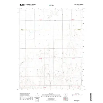
2018 Map of Mount Jesus NW
USGS Topo · Published 2018About this map
Rattlesnake Cr and several other ephemeral waterways carve through the High Plains along the border of Ford and Clark Counties. This agricultural landscape is organized by a strict grid of section lines and gravel roads, including Lane Rd and Yucca Rd, reflecting the Public Land Survey System. The terrain is defined by the drainage patterns of W Kiowa Cr, Granger Cr, Fish Cr, and Cat Cr, which move across the prairie toward larger basins. The presence of Mt Jesus Rd at the southern edge suggests the local topography leading toward the Mount Jesus landmark. This survey provides a precise look at the rural infrastructure and natural hydrology of the region in the late 2010s.
Find a feature on this map
16 named features on this map. Tap any name to fly to it.
Don’t see what you’re looking for? This feature index may not catch every label — zoom into the map to look around manually.
Map Details
Editions of this 2018 Mount Jesus NW Map
This is the sole edition of this map. No revisions or reprints were ever made.
Other maps of this area

1892 · Spearville
USGS Topo · 1:125,000

1894 · Spearville
USGS Topo · 1:125,000

1896 · Ashland
USGS Topo · 1:125,000

1955 · Pratt
USGS Topo · 1:250,000

1959 · Pratt
USGS Topo · 1:250,000

1969 · Bucklin SE
USGS Topo · 1:24,000

1969 · Bucklin
USGS Topo · 1:24,000

1969 · Kingsdown
USGS Topo · 1:24,000

1979 · Bloom SE
USGS Topo · 1:24,000

1979 · Turkey Creek
USGS Topo · 1:24,000