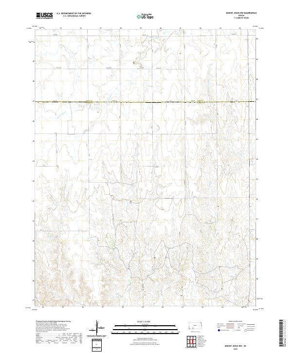
2022 Map of Mount Jesus NW
USGS Topo · Published 2022About this map
The high plains of the Kansas borderlands are defined by a complex network of intermittent drainage systems carving through the prairie. In the northern reaches of the quadrangle, Rattlesnake Cr winds across the landscape, while the southern terrain is deeply etched by Fish Cr, Granger Cr, and Cat Cr. This topography reflects the typical erosion patterns of the region, where seasonal water flow has created a series of draws and ridges.
Find a feature on this map
22 named features on this map. Tap any name to fly to it.
Don’t see what you’re looking for? This feature index may not catch every label — zoom into the map to look around manually.
Map Details
Editions of this 2022 Mount Jesus NW Map
This is the sole edition of this map. No revisions or reprints were ever made.
Other maps of this area

1892 · Spearville
USGS Topo · 1:125,000

1894 · Spearville
USGS Topo · 1:125,000

1896 · Ashland
USGS Topo · 1:125,000

1955 · Pratt
USGS Topo · 1:250,000

1959 · Pratt
USGS Topo · 1:250,000

1969 · Bucklin SE
USGS Topo · 1:24,000

1969 · Bucklin
USGS Topo · 1:24,000

1969 · Kingsdown
USGS Topo · 1:24,000

1979 · Bloom SE
USGS Topo · 1:24,000

1979 · Turkey Creek
USGS Topo · 1:24,000