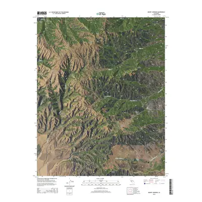
2015 Map of Mount Johnson
USGS Topo · Published 2015About this map
The Gabilan Range forms the backbone of this landscape, where the jagged boundary between Monterey and San Benito counties follows the high ridgelines. Reaching its peak at Mt Johnson, the terrain is defined by a complex network of steep drainages including Matarana Gulch and Rooster Canyon. These seasonal watercourses flow into larger systems like Willow Creek and the South Fork Willow Creek, shaping a remote geography that has historically limited dense settlement.
Find a feature on this map
37 named features on this map. Tap any name to fly to it.
Don’t see what you’re looking for? This feature index may not catch every label — zoom into the map to look around manually.
Map Details
Editions of this 2015 Mount Johnson Map
This is the sole edition of this map. No revisions or reprints were ever made.
Other maps of this area

1910 · Gonzales
USGS Topo · 1:31,680

1910 · Soledad
USGS Topo · 1:31,680

1915 · Soledad
USGS Topo · 1:62,500

1919 · San Benito
USGS Topo · 1:62,500

1921 · Gonzales
USGS Topo · 1:62,500

1921 · Metz
USGS Topo · 1:62,500

1931 · San Benito
USGS Topo · 1:62,500

1940 · Metz
USGS Topo · 1:62,500

1940 · Soledad
USGS Topo · 1:62,500

1940 · San Benito
USGS Topo · 1:62,500