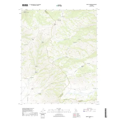
2018 Map of Mount Johnson
USGS Topo · Published 2018About this map
The Gabilan Range forms a high divide along the San Benito and Monterey County line, a landscape defined by sharp drainage divides and deep canyons. Rising to prominence is Mt Johnson, which anchors the northern section of the map above Matarana Gulch. The terrain is etched with numerous family-named landmarks, such as Ben Graves Canyon, Sullivan Canyon, and Henry Sands Canyon, reflecting the historic land-use patterns of this part of the Central Coast ranges.
Find a feature on this map
44 named features on this map. Tap any name to fly to it.
Don’t see what you’re looking for? This feature index may not catch every label — zoom into the map to look around manually.
Map Details
Editions of this 2018 Mount Johnson Map
This is the sole edition of this map. No revisions or reprints were ever made.
Other maps of this area

1910 · Gonzales
USGS Topo · 1:31,680

1910 · Soledad
USGS Topo · 1:31,680

1915 · Soledad
USGS Topo · 1:62,500

1919 · San Benito
USGS Topo · 1:62,500

1921 · Gonzales
USGS Topo · 1:62,500

1921 · Metz
USGS Topo · 1:62,500

1931 · San Benito
USGS Topo · 1:62,500

1940 · Metz
USGS Topo · 1:62,500

1940 · Soledad
USGS Topo · 1:62,500

1940 · San Benito
USGS Topo · 1:62,500