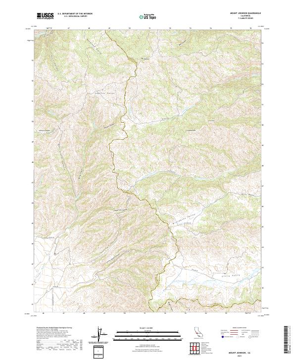
2021 Map of Mount Johnson
USGS Topo · Published 2021About this map
The Gabilan Range forms the backbone of this landscape along the Monterey and San Benito county line, a region defined by high peaks and deep, winding drainages. High points such as Mt Johnson and Mt Reynolds overlook a series of isolated basins, most notably the Williamson Valley and Gloria Valley. The drainage network is complex, with Willow Creek and Johnson Creek cutting through the terrain, while Gloria Lake provides a rare point of standing water in the southern reaches.
Find a feature on this map
40 named features on this map. Tap any name to fly to it.
Don’t see what you’re looking for? This feature index may not catch every label — zoom into the map to look around manually.
Map Details
Editions of this 2021 Mount Johnson Map
This is the sole edition of this map. No revisions or reprints were ever made.
Other maps of this area

1910 · Gonzales
USGS Topo · 1:31,680

1910 · Soledad
USGS Topo · 1:31,680

1915 · Soledad
USGS Topo · 1:62,500

1919 · San Benito
USGS Topo · 1:62,500

1921 · Gonzales
USGS Topo · 1:62,500

1921 · Metz
USGS Topo · 1:62,500

1931 · San Benito
USGS Topo · 1:62,500

1940 · Metz
USGS Topo · 1:62,500

1940 · Soledad
USGS Topo · 1:62,500

1940 · San Benito
USGS Topo · 1:62,500