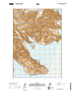
2019 Map of Mount Katmai A-1 NW
USGS Topo · Published 2019About this map
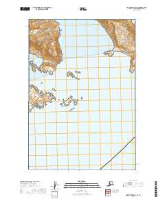
Katmai National Park encompasses this coastal stretch of the Alaska Peninsula, where the mountainous terrain meets the Pacific Ocean. The landscape is dominated by steep coastal bluffs and deep inlets, notably Kuliak Bay and Missak Bay, which carve into the mainland between high ridges. At the easternmost point of the southern peninsula shown, Cape Kuliak extends into the sea, marking a prominent navigational landmark for this wilderness area. The map illustrates the sheer verticality of the coast through dense contour lines, reflecting a shoreline defined by glacially carved topography and tectonic activity. No permanent settlements or roads are indicated, emphasizing the preserved, primitive character of the park's maritime boundary during this period of the twenty-first century.
Find a feature on this map
11 named features on this map. Tap any name to fly to it.
Don’t see what you’re looking for? This feature index may not catch every label — zoom into the map to look around manually.
Map Details
Editions of this 2019 Mount Katmai A-1 NW Map
This is the sole edition of this map. No revisions or reprints were ever made.
Other maps of this area

1948 · Mt Katmai
USGS Topo · 1:250,000

1951 · Mt Katmai
USGS Topo · 1:250,000

1951 · Mount Katmai A-2
USGS Topo · 1:63,360
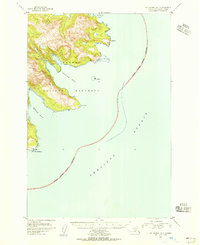
1951 · Mount Katmai A-1
USGS Topo · 1:63,360

1951 · Mount Katmai B-1
USGS Topo · 1:63,360

1951 · Mount Katmai B-2
USGS Topo · 1:63,360

1964 · Mt. Katmai
USGS Topo · 1:250,000
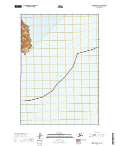
2019 · Mount Katmai A-1 SW
USGS Topo · 1:25,000
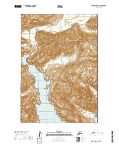
2019 · Mount Katmai A-2 NE
USGS Topo · 1:25,000
2019 · Mount Katmai A-2 SE
USGS Topo · 1:25,000