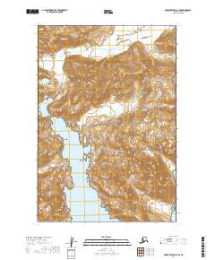
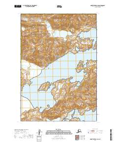
2019 Map of Mount Katmai A-2 NE
USGS Topo · Published 2019About this map
Katmai National Park encompasses this coastal landscape, where the Shelikof Strait meets the mountainous terrain of the Alaska Peninsula. The topography is defined by steep, glaciated ridges and deep coastal indentations, most notably the expansive Kinak Bay and the protected waters of Hidden Harbor. This 2019 survey documents the complex shoreline and drainage patterns of a wilderness area where natural geological processes remain the primary force of change.
Find a feature on this map
10 named features on this map. Tap any name to fly to it.
Don’t see what you’re looking for? This feature index may not catch every label — zoom into the map to look around manually.
Map Details
Editions of this 2019 Mount Katmai A-2 NE Map
This is the sole edition of this map. No revisions or reprints were ever made.
Other maps of this area

1948 · Mt Katmai
USGS Topo · 1:250,000

1951 · Mt Katmai
USGS Topo · 1:250,000

1951 · Mount Katmai A-2
USGS Topo · 1:63,360
1951 · Mount Katmai A-1
USGS Topo · 1:63,360

1951 · Mount Katmai B-1
USGS Topo · 1:63,360

1951 · Mount Katmai B-2
USGS Topo · 1:63,360

1964 · Mt. Katmai
USGS Topo · 1:250,000
2019 · Mount Katmai A-1 SW
USGS Topo · 1:25,000
2019 · Mount Katmai A-2 SE
USGS Topo · 1:25,000
2019 · Mount Katmai B-1 SW
USGS Topo · 1:25,000