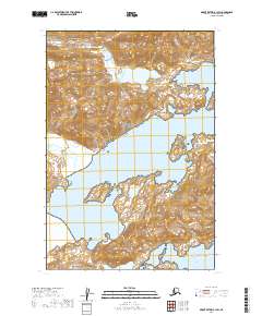
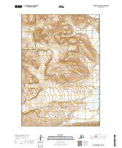
2019 Map of Mount Katmai B-1 SW
USGS Topo · Published 2019About this map
Katmai National Park encompasses this coastal landscape where the Aleutian Range meets the sea. The geography is defined by deep inlets, most notably the sheltered waters of Kukak Bay and the smaller Kaflia Bay to the south. These bays provide protected harbors along a coastline otherwise exposed to the open Pacific Ocean. The terrain is characterized by steep elevation changes, with drainage systems like Hallo Cr cutting through the northern portion of the sheet. This 2019 survey documents the intricate shoreline and mountainous interior of this protected wilderness, reflecting the undisturbed natural state of the Alaska Peninsula. The map provides a precise record of the shoreline contours and glacial-carved topography that define this remote maritime environment.
Find a feature on this map
9 named features on this map. Tap any name to fly to it.
Don’t see what you’re looking for? This feature index may not catch every label — zoom into the map to look around manually.
Map Details
Editions of this 2019 Mount Katmai B-1 SW Map
This is the sole edition of this map. No revisions or reprints were ever made.
Other maps of this area

1948 · Mt Katmai
USGS Topo · 1:250,000

1951 · Mt Katmai
USGS Topo · 1:250,000

1951 · Mount Katmai A-2
USGS Topo · 1:63,360
1951 · Mount Katmai A-1
USGS Topo · 1:63,360

1951 · Mount Katmai B-1
USGS Topo · 1:63,360

1951 · Mount Katmai B-2
USGS Topo · 1:63,360

1964 · Mt. Katmai
USGS Topo · 1:250,000
2019 · Mount Katmai A-2 NE
USGS Topo · 1:25,000
2019 · Mount Katmai B-2 NE
USGS Topo · 1:25,000
2019 · Mount Katmai B-1 NW
USGS Topo · 1:25,000