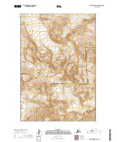
2019 Map of Mount Katmai B-2 NE
USGS Topo · Published 2019About this map
Katmai National Park encompasses this high-altitude landscape where massive ice fields and volcanic peaks dominate the terrain. The map detail highlights the glacial systems that define this part of the Aleutian Range, specifically the wide expanse of Hook Glacier in the north and the jagged reach of Serpent Tongue Glacier further south. These frozen rivers are framed by significant summits, including the prominent Kukak Volcano near the eastern boundary and the towering heights of Mt Steller and Mt Denison. The presence of the Lake and Peninsula Borough and Kodiak Island Borough boundary line cutting across these peaks underscores the remote administrative divisions within this protected wilderness. For researchers, the 2019 survey provides precise positioning of these shifting ice masses and volcanic landmarks as they appeared in the early twenty-first century.
Find a feature on this map
13 named features on this map. Tap any name to fly to it.
Don’t see what you’re looking for? This feature index may not catch every label — zoom into the map to look around manually.
Map Details
Editions of this 2019 Mount Katmai B-2 NE Map
This is the sole edition of this map. No revisions or reprints were ever made.
Other maps of this area

1948 · Mt Katmai
USGS Topo · 1:250,000

1951 · Mt Katmai
USGS Topo · 1:250,000

1951 · Mount Katmai C-2
USGS Topo · 1:63,360

1951 · Mount Katmai C-1
USGS Topo · 1:63,360

1951 · Mount Katmai B-1
USGS Topo · 1:63,360

1951 · Mount Katmai B-2
USGS Topo · 1:63,360
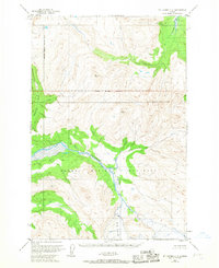
1953 · Mount Katmai C-2
USGS Topo · 1:63,360

1964 · Mt. Katmai
USGS Topo · 1:250,000
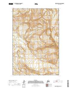
2019 · Mount Katmai B-2 NW
USGS Topo · 1:25,000
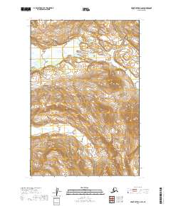
2019 · Mount Katmai C-2 SW
USGS Topo · 1:25,000