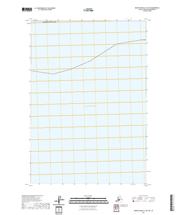
2021 Map of Mount Katmai A-3 OE S NE
USGS Topo · Published 2021About this map
Shelikof Strait dominates this coastal survey, where the waters of the Gulf of Alaska meet the protected shoreline of Katmai National Park. The map captures a largely aquatic landscape along the Kodiak Island Borough, providing a clear visualization of the marine boundary where the national park extends its reach to the sea. The cartography focuses on the township boundaries of t25s r34w and t25s r33w, illustrating the intersection of maritime territory and federal wilderness management in this northern reach of the archipelago.
Find a feature on this map
4 named features on this map. Tap any name to fly to it.
Don’t see what you’re looking for? This feature index may not catch every label — zoom into the map to look around manually.
Map Details
Editions of this 2021 Mount Katmai A-3 OE S NE Map
This is the sole edition of this map. No revisions or reprints were ever made.
Other maps of this area

1948 · Mt Katmai
USGS Topo · 1:250,000

1951 · Mt Katmai
USGS Topo · 1:250,000

1951 · Karluk
USGS Topo · 1:250,000

1951 · Mount Katmai A-3
USGS Topo · 1:63,360

1951 · Mount Katmai A-2
USGS Topo · 1:63,360

1952 · Karluk
USGS Topo · 1:250,000

1964 · Mt. Katmai
USGS Topo · 1:250,000

1964 · Karluk
USGS Topo · 1:250,000
2019 · Mount Katmai A-2 SW
USGS Topo · 1:25,000
2019 · Mount Katmai A-3 SE
USGS Topo · 1:25,000