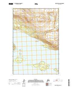
2019 Map of Mount Katmai C-6 NW
USGS Topo · Published 2019About this map
Katmai National Park encompasses the majority of this landscape in the Lake and Peninsula Borough. The terrain is defined by the expansive waters of Naknek Lake, which dominates the central and southern portions of the map. Numerous small islands and complex shorelines characterize the lake's reach, while the northern sections transition into a series of steep, densely contoured elevations. This 2019 survey reflects a wilderness area managed for conservation, showing no modern infrastructure, roads, or permanent settlements. Instead, the map provides a precise record of the natural topography and hydrologic boundaries within the park's protected limits during the early twenty-first century.
Find a feature on this map
8 named features on this map. Tap any name to fly to it.
Don’t see what you’re looking for? This feature index may not catch every label — zoom into the map to look around manually.
Map Details
Editions of this 2019 Mount Katmai C-6 NW Map
This is the sole edition of this map. No revisions or reprints were ever made.
Other maps of this area

1948 · Mt Katmai
USGS Topo · 1:250,000

1951 · Mt Katmai
USGS Topo · 1:250,000

1951 · Mount Katmai C-6
USGS Topo · 1:63,360

1951 · Naknek D-1
USGS Topo · 1:63,360

1951 · Naknek C-1
USGS Topo · 1:63,360

1951 · Mount Katmai D-6
USGS Topo · 1:63,360

1952 · Naknek
USGS Topo · 1:250,000

1964 · Mt. Katmai
USGS Topo · 1:250,000

1964 · Naknek
USGS Topo · 1:250,000
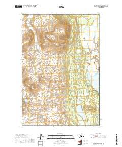
2019 · Mount Katmai D-6 SE
USGS Topo · 1:25,000