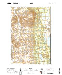
2019 Map of Mount Katmai D-6 SE
USGS Topo · Published 2019About this map
Katmai National Park preserves a remote stretch of the Alaska Peninsula, where the landscape is defined by the expansive waters of Lake Coville and the winding course of American Creek. This high-latitude wilderness, shown as it appeared in 2019, exhibits a complex drainage system where American Cr flows through steep elevation changes before reaching the lake shore. The terrain is characterized by significant topographic relief, with ridges rising sharply from the eastern edge of the water. The survey captures the transition between the low-lying lacustrine environment and the interior highlands of the park, providing a snapshot of a protected ecosystem where natural processes remain largely uninterrupted by modern infrastructure.
Find a feature on this map
8 named features on this map. Tap any name to fly to it.
Don’t see what you’re looking for? This feature index may not catch every label — zoom into the map to look around manually.
Map Details
Editions of this 2019 Mount Katmai D-6 SE Map
This is the sole edition of this map. No revisions or reprints were ever made.
Other maps of this area

1948 · Mt Katmai
USGS Topo · 1:250,000

1951 · Mt Katmai
USGS Topo · 1:250,000

1951 · Mount Katmai C-6
USGS Topo · 1:63,360

1951 · Mount Katmai D-5
USGS Topo · 1:63,360

1951 · Mount Katmai C-5
USGS Topo · 1:63,360

1951 · Mount Katmai D-6
USGS Topo · 1:63,360
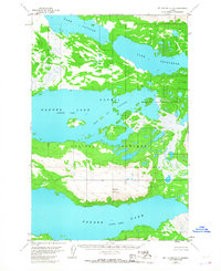
1953 · Mount Katmai C-5
USGS Topo · 1:63,360

1964 · Mt. Katmai
USGS Topo · 1:250,000
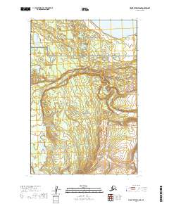
2019 · Mount Katmai D-5 NW
USGS Topo · 1:25,000
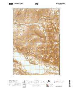
2019 · Mount Katmai D-6 SW
USGS Topo · 1:25,000