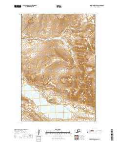
2019 Map of Mount Katmai D-6 SW
USGS Topo · Published 2019About this map
Katmai National Park encompasses the high-altitude terrain in this section of the Alaska Peninsula, where the landscape is defined by the headwaters of the King Salmon Cr. The topographic detail shows the northern reaches of Idavain Lake, situated within a glacial valley that highlights the area's complex drainage patterns. This map serves as a primary record of the undeveloped wilderness within the Lake and Peninsula Borough, documenting the specific elevation contours and township boundaries of T15S R40W and T16S R40W. The absence of roads or permanent structures reflects the protected status of the land, preserving a geography shaped by geological forces rather than human industry.
Find a feature on this map
7 named features on this map. Tap any name to fly to it.
Don’t see what you’re looking for? This feature index may not catch every label — zoom into the map to look around manually.
Map Details
Editions of this 2019 Mount Katmai D-6 SW Map
This is the sole edition of this map. No revisions or reprints were ever made.
Other maps of this area

1948 · Mt Katmai
USGS Topo · 1:250,000

1951 · Mt Katmai
USGS Topo · 1:250,000

1951 · Mount Katmai C-6
USGS Topo · 1:63,360

1951 · Naknek D-1
USGS Topo · 1:63,360

1951 · Naknek C-1
USGS Topo · 1:63,360

1951 · Mount Katmai D-6
USGS Topo · 1:63,360

1952 · Naknek
USGS Topo · 1:250,000

1964 · Mt. Katmai
USGS Topo · 1:250,000

1964 · Naknek
USGS Topo · 1:250,000
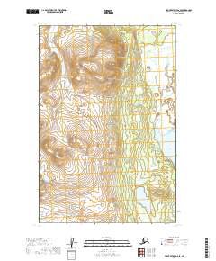
2019 · Mount Katmai D-6 SE
USGS Topo · 1:25,000