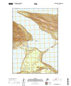
2019 Map of Mount Katmai C-6 SE
USGS Topo · Published 2019About this map
Katmai National Park encompasses this terrain where the Brooks River connects two major bodies of water. The topography is defined by the narrow passage between Lake Brooks and the expansive Naknek Lake, a critical corridor for local wildlife and the site of Brooks Falls. The landscape transitions from the aquatic environments of the lake shores to the rising elevations tracked by the Dumpling Mountain Trail. Human access to this wilderness is centered around the Lake Brooks Road and the Valley of Ten Thousand Smokes Road, which lead toward the interior of the park. The concentration of trails like the Brooks Falls Trail near the river mouth indicates the area's importance as a focal point for observation and seasonal activity within the park's protected boundaries.
Find a feature on this map
13 named features on this map. Tap any name to fly to it.
Don’t see what you’re looking for? This feature index may not catch every label — zoom into the map to look around manually.
Map Details
Editions of this 2019 Mount Katmai C-6 SE Map
This is the sole edition of this map. No revisions or reprints were ever made.
Other maps of this area

1948 · Mt Katmai
USGS Topo · 1:250,000

1951 · Mt Katmai
USGS Topo · 1:250,000

1951 · Mount Katmai C-6
USGS Topo · 1:63,360

1951 · Mount Katmai B-6
USGS Topo · 1:63,360

1951 · Mount Katmai C-5
USGS Topo · 1:63,360

1951 · Mount Katmai B-5
USGS Topo · 1:63,360
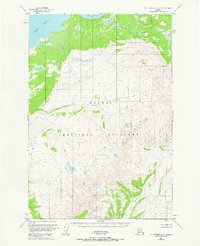
1953 · Mt. Katmai B-6
USGS Topo · 1:63,360
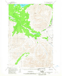
1953 · Mount Katmai B-5
USGS Topo · 1:63,360
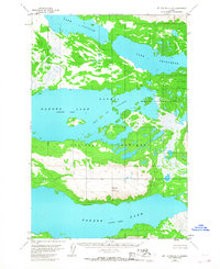
1953 · Mount Katmai C-5
USGS Topo · 1:63,360

1964 · Mt. Katmai
USGS Topo · 1:250,000