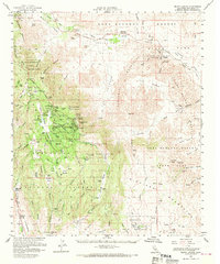
1960 Map of Mount Laguna
USGS Topo · Published 1970About this map
Mount Laguna and the surrounding high desert terrain are defined by a mix of military presence, ranching, and historic transport corridors. The Mt Laguna Usaf Sta and Mount Laguna Post Office anchor the settlement atop the mountains, while the surrounding Cleveland National Forest and Laguna Recreation Area indicate the region's mid-century transition toward recreation. This 1960s survey documents the surviving threads of frontier history, most notably the Old Overland Stage Route passing through Vallecito Stage Station County Park. To the east, the landscape drops sharply into the Anza-Borrego Desert State Park, where landmarks like Agua Caliente Springs and Sombrero Peak rise from the desert floor. Numerous family-named sites, such as Campbell Ranch, Morris Ranch, and McCain Ranch, alongside the Manzanita Indian Reservation, reflect a complex history of land use in this San Diego County backcountry.
Find a feature on this map
65 named features on this map. Tap any name to fly to it.
Don’t see what you’re looking for? This feature index may not catch every label — zoom into the map to look around manually.
Map Details
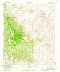
Editions of this 1960 Mount Laguna Map
2 editions found
Other maps of this area

1903 · Cuyamaca
USGS Topo · 1:125,000

1903 · Ramona
USGS Topo · 1:125,000

1904 · Southern California Sheet No. 2
USGS Topo · 1:250,000

1931 · Vallecito
USGS Topo · 1:125,000

1931 · Carrizo
USGS Topo · 1:125,000

1939 · Campo
USGS Topo · 1:62,500

1939 · Santa Ysabel
USGS Topo · 1:62,500

1939 · Borrego
USGS Topo · 1:62,500

1939 · Jacumba
USGS Topo · 1:62,500

1942 · Barrel Spring
USGS Topo · 1:62,500