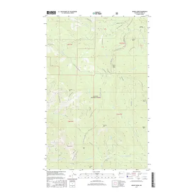
2017 Map of Mount Leona
USGS Topo · Published 2017About this map
Colville National Forest dominates this high-altitude landscape in the Kettle River Range as it appeared in 2017. The topography is defined by prominent peaks including Mount Leona, Profanity Peak, and Tonasket Mtn, linked by a network of drainage systems like N Fork Saint Peter Cr and Butte Fork. Cultural footprints are sparse but significant, featuring the Pacific NW National Scenic Trail as a primary thoroughfare across the ridges. A notable local-history marker is found at Ryan Cabin near Ryan Hill, reflecting the area's legacy of high-country settlement or land management. The map also traces established routes such as Boulder Creek Rd and the high passage at Boulder Creek Pass, while Taylor Ridge and Stickpin Hill mark the eastern and southern reaches of this mountainous terrain.
Find a feature on this map
53 named features on this map. Tap any name to fly to it.
Don’t see what you’re looking for? This feature index may not catch every label — zoom into the map to look around manually.
Map Details
Editions of this 2017 Mount Leona Map
This is the sole edition of this map. No revisions or reprints were ever made.
Other maps of this area

1904 · Republic
USGS Topo · 1:125,000

1936 · Marcus
USGS Topo · 1:96,000

1942 · Marcus
USGS Topo · 1:125,000

1948 · Curlew
USGS Topo · 1:62,500

1948 · Republic
USGS Topo · 1:62,500

1948 · Sherman Peak
USGS Topo · 1:62,500

1948 · Togo Mountain
USGS Topo · 1:62,500

1951 · Togo Mountain
USGS Topo · 1:62,500

1951 · Sherman Peak
USGS Topo · 1:62,500

1951 · Curlew
USGS Topo · 1:62,500