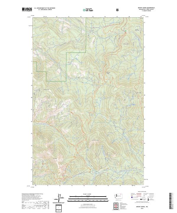
2023 Map of Mount Leona
USGS Topo · Published 2023About this map
Colville National Forest dominates this section of the Kettle River Range in Ferry County, where high peaks and an extensive trail network define the high-altitude landscape. The terrain is anchored by notable summits such as Profanity Peak, Mt Leona, and Tonasket Mtn, reflecting the mountainous character of northeast Washington. Numerous watercourses, including North Fork Saint Peter Creek and the South Fork Boulder Creek, carve through the valleys between these heights. Historical movement through the region is traced by early routes and modern pathways like the Pacific Northwest National Scenic Trl and Ryan Cabin Trl. The map details various landmarks important for local navigation and history, including the passage at Boulder Creek Pass and the distinctive Sentinel Butte.
Find a feature on this map
38 named features on this map. Tap any name to fly to it.
Don’t see what you’re looking for? This feature index may not catch every label — zoom into the map to look around manually.
Map Details
Editions of this 2023 Mount Leona Map
This is the sole edition of this map. No revisions or reprints were ever made.
Other maps of this area

1904 · Republic
USGS Topo · 1:125,000

1936 · Marcus
USGS Topo · 1:96,000

1942 · Marcus
USGS Topo · 1:125,000

1948 · Curlew
USGS Topo · 1:62,500

1948 · Republic
USGS Topo · 1:62,500

1948 · Sherman Peak
USGS Topo · 1:62,500

1948 · Togo Mountain
USGS Topo · 1:62,500

1951 · Togo Mountain
USGS Topo · 1:62,500

1951 · Sherman Peak
USGS Topo · 1:62,500

1951 · Curlew
USGS Topo · 1:62,500