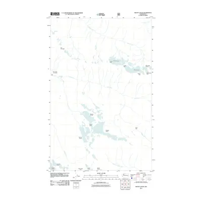
2011 Map of Mount Logan
USGS Topo · Published 2011About this map
Mount Logan stands as the central topographic focal point of this high-elevation region in the North Cascades, surrounded by a complex system of active ice fields. The landscape is defined by its dramatic verticality, with the massive Boston Glacier and Thunder Glacier anchoring the southwest corner, while the Banded Glacier and Douglas Glacier cling to the slopes of the primary peak. This area represents a wilderness environment where glacial hydrology feeds numerous drainages, including the headwaters of Fisher Creek and Thunder Creek. The survey identifies several notable summits including Mesahchie Peak, Katsuk Peak, and Cosho Peak, alongside significant geographic crossings such as Park Creek Pass and Fisher Pass. While primarily an alpine environment, human presence is noted at the Rock Cabin site near the Rock Cabin Avalanche path, providing a rare point of reference for mountaineers and surveyors navigating these high ridges.
Find a feature on this map
25 named features on this map. Tap any name to fly to it.
Don’t see what you’re looking for? This feature index may not catch every label — zoom into the map to look around manually.
Map Details
Editions of this 2011 Mount Logan Map
This is the sole edition of this map. No revisions or reprints were ever made.
Other maps of this area

1899 · Glacier Peak
USGS Topo · 1:125,000

1901 · Glacier Peak
USGS Topo · 1:125,000

1902 · Stehekin
USGS Topo · 1:125,000

1904 · Stehekin
USGS Topo · 1:125,000

1920 · Slate Pass
USGS Topo · 1:125,000

1955 · Concrete
USGS Topo · 1:250,000

1958 · Concrete
USGS Topo · 1:250,000

1962 · Concrete
USGS Topo · 1:250,000

1963 · Mc Gregor Mtn
USGS Topo · 1:24,000

1963 · Azurite Peak
USGS Topo · 1:24,000