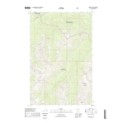
2020 Map of Mount Lyall
USGS Topo · Published 2020About this map
The Stehekin River flows through the northeast corner of this high-elevation landscape, where the North Cascades National Park meets the Lake Chelan National Recreation Area and the Wenatchee National Forest. The dramatic topography is defined by prominent peaks and ridges, including Lyall Mt, Devore Peak, and the jagged Tupshin Peak. Hikers of the modern era can trace the path of the Pacific Crest National Scenic Trail as it winds near Agnes Gorge and follows the course of Agnes Cr.
Find a feature on this map
33 named features on this map. Tap any name to fly to it.
Don’t see what you’re looking for? This feature index may not catch every label — zoom into the map to look around manually.
Map Details
Editions of this 2020 Mount Lyall Map
This is the sole edition of this map. No revisions or reprints were ever made.
Other maps of this area

1902 · Stehekin
USGS Topo · 1:125,000

1904 · Stehekin
USGS Topo · 1:125,000

1944 · Holden
USGS Topo · 1:62,500

1944 · Lucerne
USGS Topo · 1:62,500

1949 · Lucerne
USGS Topo · 1:62,500

1949 · Holden
USGS Topo · 1:62,500

1955 · Concrete
USGS Topo · 1:250,000

1958 · Concrete
USGS Topo · 1:250,000

1962 · Concrete
USGS Topo · 1:250,000

1963 · Mc Gregor Mtn
USGS Topo · 1:24,000