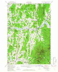
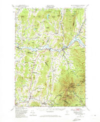
1948 Map of Mount Mansfield
USGS Topo · Published 1966About this map
The Lamoille River carves through the heart of this landscape, anchoring a network of small Vermont settlements including Cambridge, Jeffersonville, and Underhill. In the late 1940s, the terrain is defined by its educational and spiritual centers, from the Buck Hollow Sch in the north to the Irish Settlement Sch and English Settlement Sch further south. These local schoolhouses, along with the Sanderson Cem and Westford Plains Cem, provide essential anchor points for genealogical research in this rural pocket of Chittenden and Franklin counties.
Find a feature on this map
127 named features on this map. Tap any name to fly to it.
Don’t see what you’re looking for? This feature index may not catch every label — zoom into the map to look around manually.
Map Details
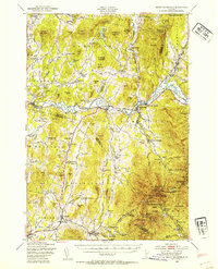
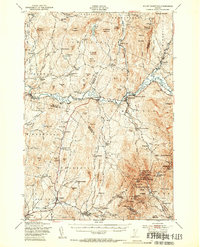
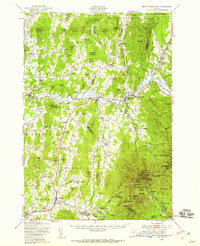
Editions of this 1948 Mount Mansfield Map
5 editions found
Other maps of this area

1906 · Burlington
USGS Topo · 1:62,500

1913 · Milton
USGS Topo · 1:48,000

1914 · St. Albans
USGS Topo · 1:48,000

1915 · Milton
USGS Topo · 1:62,500

1916 · St. Albans
USGS Topo · 1:62,500

1919 · Burlington
USGS Topo · 1:62,500

1919 · Montgomery
USGS Topo · 1:62,500

1919 · Montpelier
USGS Topo · 1:62,500

1920 · Franklin Pond
USGS Topo · 1:62,500

1920 · Montgomery
USGS Topo · 1:62,500