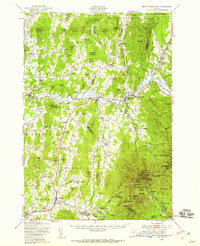
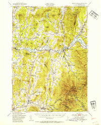
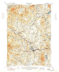
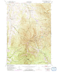
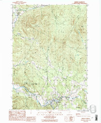
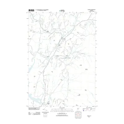
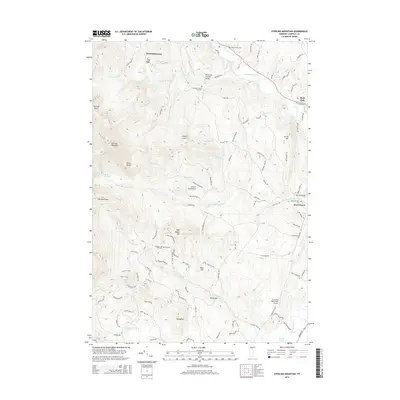
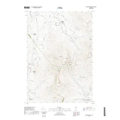
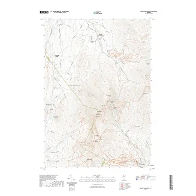
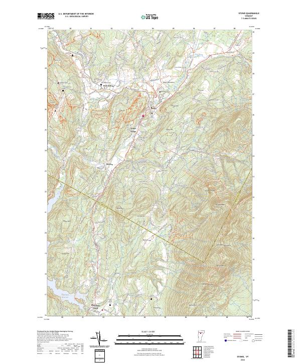
1948 Map of Mount Mansfield
USGS Topo · Published 1959About this map
Mount Mansfield State Forest dominates this landscape, showing the transition of the northern Green Mountains into an early recreational and transit hub. The map illustrates the rugged topography surrounding The Chin and Adams Apple, where high-elevation landmarks like the Mt Mansfield Hotel, Taft Lodge, and the State Ski Dormitory signal the area's emerging identity as a winter sports destination. The Long Trail snakes across these peaks, passing through Smugglers Notch and by the waters of Lake of the Clouds.
Find a feature on this map
135 named features on this map. Tap any name to fly to it.
Don’t see what you’re looking for? This feature index may not catch every label — zoom into the map to look around manually.
Map Details
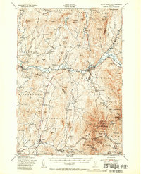
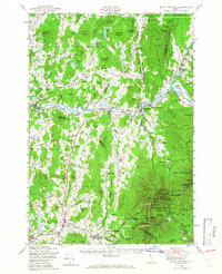
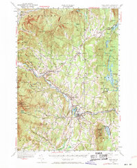
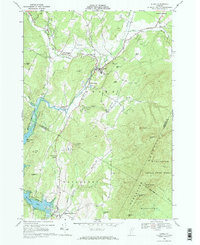
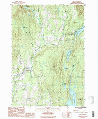
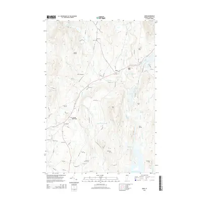
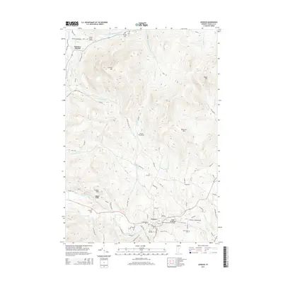
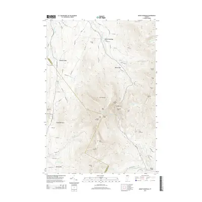
Editions of this 1948 Mount Mansfield Map
5 editions found
Historical Maps of Essex Through Time
40 maps found

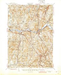
1925 Mount Mansfield
Lamoille County, VT

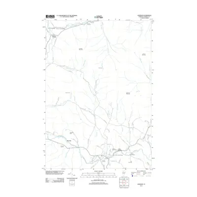
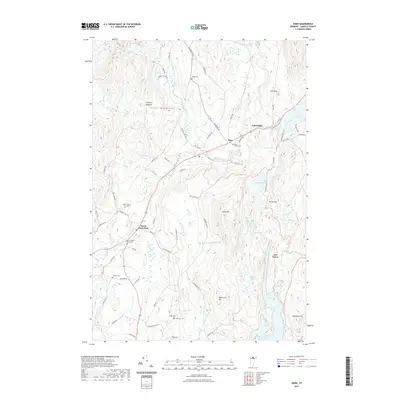
1927 Hyde Park
Lamoille County, VT
1927 Mount Mansfield
Lamoille County, VT
1930 Hyde Park
Lamoille County, VT
1943 Hyde Park
Lamoille County, VT

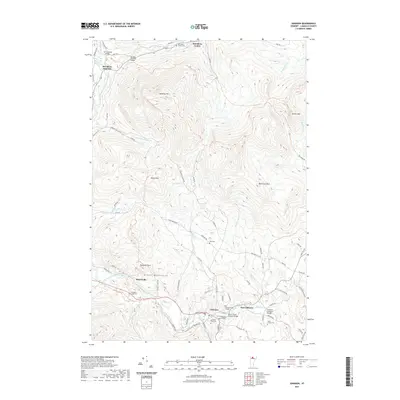
1944 Mount Mansfield
Lamoille County, VT
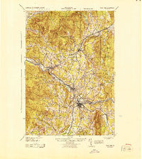
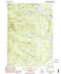
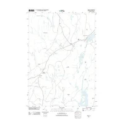
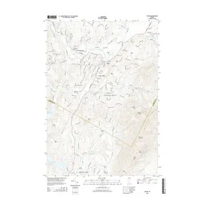
1948 Mount Mansfield
Lamoille County, VT
1948 Mount Mansfield
Lamoille County, VT
1953 Hyde Park
Lamoille County, VT
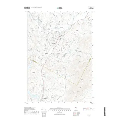
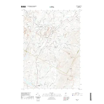
1968 Stowe
Lamoille County, VT
1986 Eden
Lamoille County, VT
1986 Johnson
Lamoille County, VT
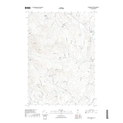
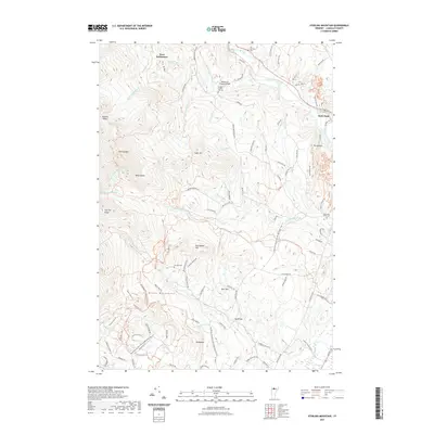
1986 Sterling Mountain
Lamoille County, VT
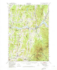
1997 Mount Mansfield
Lamoille County, VT
1998 Sterling Mountain
Lamoille County, VT
2012 Eden
Lamoille County, VT
2012 Johnson
Lamoille County, VT
2012 Mount Mansfield
Lamoille County, VT
2012 Sterling Mountain
Lamoille County, VT
2012 Stowe
Lamoille County, VT
2015 Eden
Lamoille County, VT
2015 Johnson
Lamoille County, VT
2015 Mount Mansfield
Lamoille County, VT
2015 Sterling Mountain
Lamoille County, VT
2015 Stowe
Lamoille County, VT
2018 Eden
Lamoille County, VT
2018 Johnson
Lamoille County, VT
2018 Mount Mansfield
Lamoille County, VT
2018 Sterling Mountain
Lamoille County, VT
2018 Stowe
Lamoille County, VT
2021 Eden
Lamoille County, VT
2021 Johnson
Lamoille County, VT
2021 Mount Mansfield
Lamoille County, VT
2021 Sterling Mountain
Lamoille County, VT
2021 Stowe
Lamoille County, VT
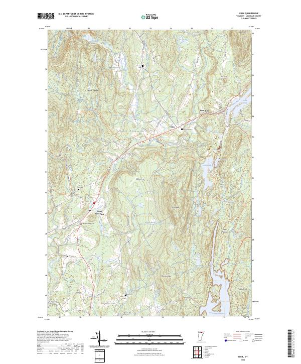
2024 Eden
Lamoille County, VT
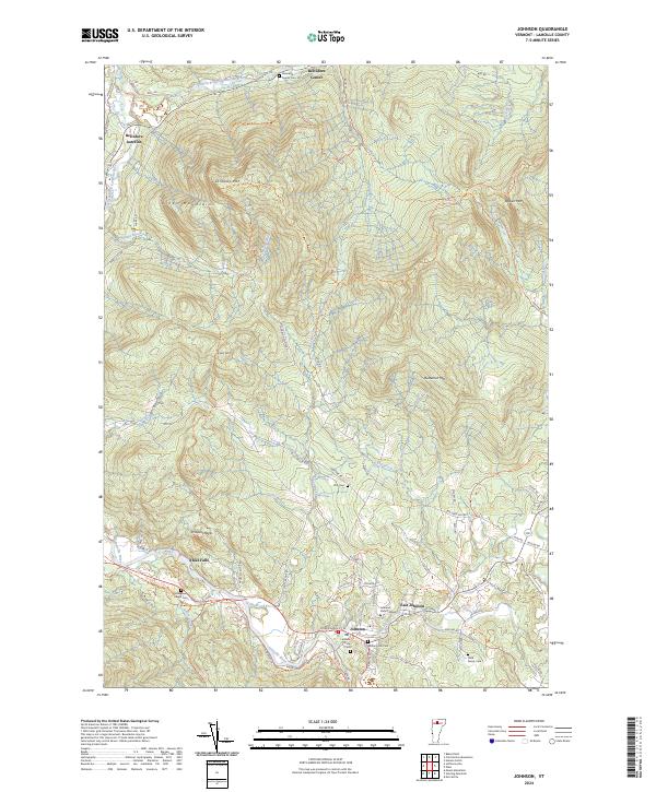
2024 Johnson
Lamoille County, VT
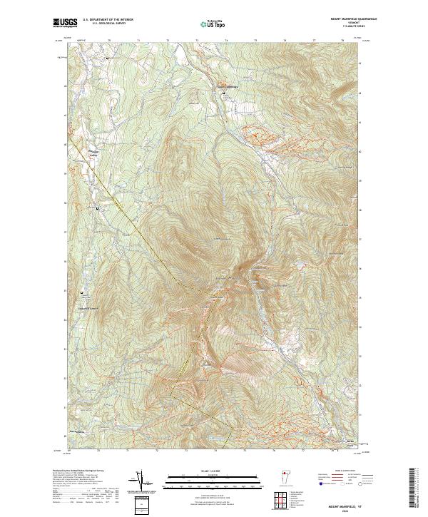
2024 Mount Mansfield
Lamoille County, VT
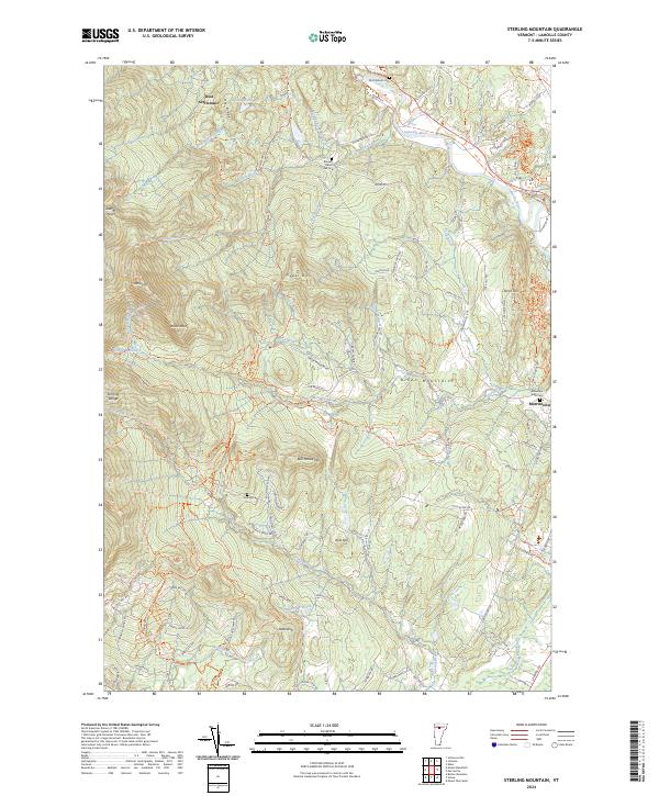
2024 Sterling Mountain
Lamoille County, VT
2024 Stowe
Lamoille County, VT