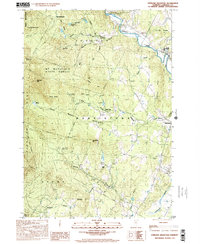
1998 Map of Sterling Mountain
USGS Topo · Published 2001About this map
The Mt Mansfield State Forest dominates this section of Lamoille County, where the high peaks of the Sterling Range define the local topography. At the turn of the 21st century, the landscape preserved a rugged character with prominent landmarks like Sterling Mtn and White Rocks looming over the river valleys. To the north, the Lamoille River winds past Hyde Park, while the southern reaches are drained by the Little River and Peterson Brook.
Find a feature on this map
40 named features on this map. Tap any name to fly to it.
Don’t see what you’re looking for? This feature index may not catch every label — zoom into the map to look around manually.
Map Details
Editions of this 1998 Sterling Mountain Map
This is the sole edition of this map. No revisions or reprints were ever made.
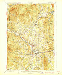
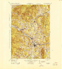
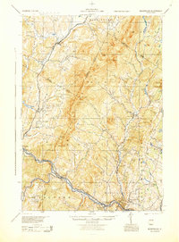
Other maps of this area

1919 · Montpelier
USGS Topo · 1:62,500

1921 · Richmond
USGS Topo · 1:48,000

1921 · Montpelier
USGS Topo · 1:62,500

1924 · Camels Hump
USGS Topo · 1:62,500

1925 · Mount Mansfield
USGS Topo · 1:48,000

1927 · Mount Mansfield
USGS Topo · 1:62,500

1927 · Hyde Park
USGS Topo · 1:48,000
1930 · Hyde Park
USGS Topo · 1:62,500
1943 · Hyde Park
USGS Topo · 1:62,500
1944 · Montpelier
USGS Topo · 1:62,500