
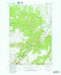
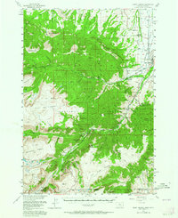
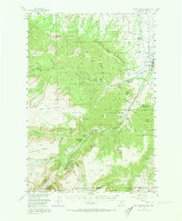
1956 Map of Mount Maurice
USGS Topo · Published 1958About this map
Red Lodge serves as the gateway to the high-altitude plateaus of southern Montana in this mid-century survey. The landscape is defined by the massive Silver Run Plateau and Hellroaring Plateau, where the drainages of Red Lodge Creek and Rock Creek have carved deep canyons. This era captures a transition toward recreational and scientific use of the Custer National Forest, evidenced by the presence of the Yellowstone-Bighorn Research Camp and various organizational retreats like Camp Rotary and Camp Senia. The settlement pattern at the edge of the mountains is thin but documented through rural landmarks such as Draper Sch and the Red Lodge Cemetery. High-elevation features like the Sundance Pass Trail and peaks such as Grizzly Peak and Mount Maurice dominate the western and central portions of the map, illustrating the high-relief terrain that separates the Beartooth foothills from the Shoshone National Forest in Wyoming.
Find a feature on this map
77 named features on this map. Tap any name to fly to it.
Don’t see what you’re looking for? This feature index may not catch every label — zoom into the map to look around manually.
Map Details
Editions of this 1956 Mount Maurice Map
4 editions found
Other maps of this area

1896 · Crandall Creek
USGS Topo · 1:125,000

1898 · Granite Mountain District
USGS Topo · 1:125,000

1899 · Crandall
USGS Topo · 1:125,000

1932 · Red Lodge No 2
USGS Topo · 1:48,000

1932 · Red Lodge No 1
USGS Topo · 1:48,000

1932 · Nye No 1
USGS Topo · 1:48,000

1944 · Red Lodge
USGS Topo · 1:62,500

1950 · Clark
USGS Topo · 1:62,500

1950 · Deep Lake
USGS Topo · 1:62,500

1954 · Billings
USGS Topo · 1:250,000