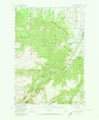
1956 Map of Mount Maurice
USGS Topo · Published 1973About this map
Red Lodge serves as the gateway to the high plateau country of the Custer National Forest and Shoshone National Forest in this mid-century survey. The town's periphery is defined by essential community landmarks including the Red Lodge Cemetery, the Rodeo Grounds, and the Red Lodge Airport, while the Draper Sch sits further north. The landscape is dramatically shaped by the Limestone Palisades and the transition from the West Bench into the high elevations of the Silver Run Plateau and Line Creek Plateau.
Find a feature on this map
85 named features on this map. Tap any name to fly to it.
Don’t see what you’re looking for? This feature index may not catch every label — zoom into the map to look around manually.
Map Details
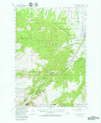
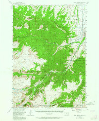
Editions of this 1956 Mount Maurice Map
4 editions found

Other maps of this area

1896 · Crandall Creek
USGS Topo · 1:125,000

1898 · Granite Mountain District
USGS Topo · 1:125,000

1899 · Crandall
USGS Topo · 1:125,000

1932 · Red Lodge No 2
USGS Topo · 1:48,000

1932 · Red Lodge No 1
USGS Topo · 1:48,000

1932 · Nye No 1
USGS Topo · 1:48,000

1944 · Red Lodge
USGS Topo · 1:62,500

1950 · Clark
USGS Topo · 1:62,500

1950 · Deep Lake
USGS Topo · 1:62,500

1954 · Billings
USGS Topo · 1:250,000