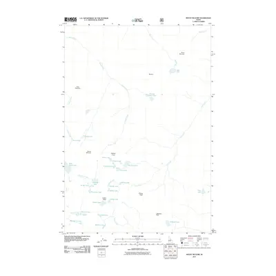
2011 Map of Mount McGuire
USGS Topo · Published 2011About this map
Mount McGuire and the surrounding high-altitude terrain of the Bighorn Crags dominate this 2011 survey, showing a landscape defined by dramatic geological formations and a dense network of glacial lakes. Located within Lemhi County, this area is characterized by sharp vertical relief, featuring named landmarks such as Cathedral Rock, the Beehive, and Dome Mountain. The hydrological patterns reveal an intricate system of basins, where headwaters for Roaring Creek and Clear Creek originate from numerous small alpine bodies including Ship Island Lake, Gooseneck Lake, and Crater Lake. For those interested in the topography of the Salmon River Mountains, the map details ridges like Fishfin Ridge and Fishing Ridge, offering a clear look at the drainage systems and landforms that have remained relatively unchanged by development into the 21st century.
Find a feature on this map
41 named features on this map. Tap any name to fly to it.
Don’t see what you’re looking for? This feature index may not catch every label — zoom into the map to look around manually.
Map Details
Editions of this 2011 Mount McGuire Map
This is the sole edition of this map. No revisions or reprints were ever made.
Other maps of this area

1950 · Blackbird Mtn
USGS Topo · 1:62,500

1951 · Blackbird Mtn
USGS Topo · 1:62,500

1956 · Elk City
USGS Topo · 1:250,000

1960 · Elk City
USGS Topo · 1:250,000

1960 · Shoup
USGS Topo · 1:62,500

1962 · Hoodoo Meadows
USGS Topo · 1:24,000

1962 · Long Tom Mtn
USGS Topo · 1:24,000

1962 · Puddin Mtn
USGS Topo · 1:24,000

1962 · Aggipah Mtn
USGS Topo · 1:24,000

1962 · Mt Mc Guire
USGS Topo · 1:24,000