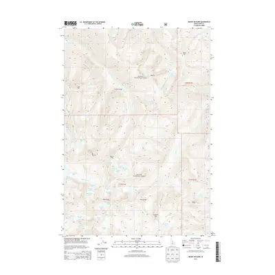
2013 Map of Mount McGuire
USGS Topo · Published 2013About this map
Mt McGuire dominates this high-altitude landscape in the heart of the Salmon National Forest. The topography is defined by the sharp, glaciated terrain of the Bighorn Crags, a region where massive granite formations like Cathedral Rock and Beehive rise above deep basins. These basins cradle a high concentration of subalpine lakes, including the large Ship Island Lake and smaller bodies such as Shoban Lake, Sheepeater Lake, and Airplane Lake.
Find a feature on this map
45 named features on this map. Tap any name to fly to it.
Don’t see what you’re looking for? This feature index may not catch every label — zoom into the map to look around manually.
Map Details
Editions of this 2013 Mount McGuire Map
This is the sole edition of this map. No revisions or reprints were ever made.
Other maps of this area

1950 · Blackbird Mtn
USGS Topo · 1:62,500

1951 · Blackbird Mtn
USGS Topo · 1:62,500

1956 · Elk City
USGS Topo · 1:250,000

1960 · Elk City
USGS Topo · 1:250,000

1960 · Shoup
USGS Topo · 1:62,500

1962 · Hoodoo Meadows
USGS Topo · 1:24,000

1962 · Long Tom Mtn
USGS Topo · 1:24,000

1962 · Puddin Mtn
USGS Topo · 1:24,000

1962 · Aggipah Mtn
USGS Topo · 1:24,000

1962 · Mt Mc Guire
USGS Topo · 1:24,000